
Tarpon Springs Neighbors by Source
No official record lists everyone on a block. The practical coverage comes from several custodians, and each source proves only what its keeper records. The parcel map gives adjacency. Parcel cards identify owners and distinguish the site from the tax-contact address. Voter files add declared voting residences after statutory redactions. Permits document work at an address, while city planning districts supply place context.
| Official or local source | What it reveals around a block | How to reach it |
|---|---|---|
| PCPA Parcel Viewer | Adjacent parcel outlines, owner links, aerial and parcel styles | Free map and click browsing |
| PCPA parcel cards | Owner, situs, mailing address, parcel ID, and deed key | Free public search |
| Pinellas voter file | Public registration fields tied to residence | Request from Elections; exemptions apply |
| City or county permit files | Address-based work, inspections, orders, and public applicants | Custodian depends on jurisdiction |
| Planning and entity records | District context or formal association contacts | City maps and Sunbiz filings |
A parcel owner may live elsewhere. A mailing address can point to an accountant, trustee, or tax-contact destination, while a situs address locates the land. Multiunit sites also defeat the idea that one parcel equals one household. These limits matter whenever public records are used to identify Tarpon Springs neighbors.
Build a small research table with one row per parcel and columns for parcel ID, situs, public owner, mailing destination, source date, and notes. Keep uncertain occupancy claims out of that table. If a deed, voter row, or permit adds context later, cite it in a separate column rather than merging unlike records into one unsupported household conclusion.
Map Tarpon Springs Neighbors Nearby
The PCPA Parcel Viewer supports an exact adjacent-parcel method. It has no documented buffer button. Instead, search the starting owner, address, or parcel, open its popup, then pan and click each surrounding polygon. Aerial and filled or unfilled parcel styles help separate visible buildings from legal lot lines.
- Search the known address and confirm its parcel popup, site address, and parcel ID.
- Switch between aerial and parcel outlines to see which polygons truly touch or face the starting lot.
- Click each nearby parcel and record its public owner, situs, mailing address, and parcel number.
- Use Measure only to document distance or lot size; it does not identify a resident.
- Print or export the map and mark the research date, because ownership and map data change.
The result is a dated owner-and-parcel snapshot, not a claim about every occupant. For the full chain along a named road, use the Tarpon Springs street directory workflow rather than extending a block study without limits.
Choose a clear stopping rule before clicking outward. The parcels touching the starting lot, the lots directly across the road, or one defined block face are useful scopes. An open-ended map sweep can turn a neighbor question into a whole-street project and make the observation date hard to track. Condo and apartment parcels need added care because one polygon may cover many units, shared land, or a formal association. Record the parcel as the county presents it, and do not create an occupant list from unit numbers, mailboxes, parked cars, or other observations that the official roll does not support.
Read Tarpon Springs Parcel Controls
The map controls make a block lookup repeatable. Full Map returns to the county view. My Location can center a device position. Sales highlights transactions by chosen years. Measure works in feet, miles, square feet, square yards, or acres. Print exports a PDF or image. Map Style offers aerial, filled parcel, non-filled parcel, and countywide plan views.
- Parcel
- A legally described piece of land with a county identifier.
- Situs address
- The physical location assigned to the land.
- Mailing address
- The destination used for tax correspondence; it may be elsewhere.
- Adjacency
- Parcels that touch or sit directly around the starting parcel.
Save both the map view and parcel cards. One documents space. The other provides the official land fields needed to avoid mixing similar addresses.
Tarpon Springs Neighbors Voter Data
Florida voter information generally includes name, residence and mailing address when not exempt, party, registration status and date, precinct, districts, and participation history. Participation means which elections recorded participation, never ballot choices. Social Security numbers, driver-license or state-ID numbers, signatures, and protected-program addresses are withheld.
The individual status form requires first name, last name, and date of birth. It is not an anonymous block directory. Ask the Pinellas County Supervisor of Elections for the public file or a precisely scoped street or precinct extract. The county supplies data after exemptions and protected rows are handled.
Florida Statute section 97.0585 governs public and protected registration elements. A declared voting residence is dated evidence, not proof that a person is present today.
Note: Near an election, Pinellas public voter data refreshes on weekdays; otherwise the research found a weekly Friday update schedule.
Tarpon Springs Neighbors by District
The Tarpon Springs Community Redevelopment Area covers roughly 200 acres between Meres Boulevard and the Anclote River. Its framework names ten Character Districts. These labels give a block civic and historic context, but they do not create resident lists or prove association membership.
- Downtown and Downtown Gateway
- Municipal Gateway and North Pinellas Avenue
- South Gateway and South Pinellas Avenue
- South Safford Avenue and Sponge Docks
- Spring Bayou and Uptown
Use the Tarpon Springs CRA for maps and district planning records. A district may explain common design rules or projects. It is not a directory of Tarpon Springs neighbors.
Tarpon Springs Community Contacts
Research did not locate an official current inventory of neighborhood associations or public HOA member directories. City boards and CRA contacts can help identify civic groups, while Florida Sunbiz can confirm a registered association. Public officer and agent details do not make a private member roster public.
Tarpon Springs CRA
Character District maps, redevelopment records, and public community contacts.
City Clerk & Collector
City board records, minutes, and narrow public-record requests.
Division of Corporations
Formal entity name, status, officers, agent, and filing address.
Ask only for public records tied to a clear civic purpose. Private contact lists should stay private.
Tarpon Springs Neighbors Permit Evidence
Permit and code files can explain work, inspections, orders, liens, or public applicants at nearby addresses. Jurisdiction comes first. A postal line that says Tarpon Springs may describe unincorporated Pinellas County, so check the municipal boundary before choosing a portal.
City-limit parcels use Tarpon Springs Code Enforcement and the City Clerk. The city request form offers open, closed, or expired permits, elevation and flood-map material, roof permits and final inspections, certificates of occupancy, and plans. County parcels use the Pinellas Access Portal route.
A permit may name an owner, applicant, or contractor. It does not establish who lives at the address.
Tarpon Springs Official Neighbor Records
Official rolls and commercial neighbor tools differ. Public records name the custodian, field meaning, and update context. Commercial compilations can merge same-name people, retain old addresses, or hide the source date. They are leads, not authority.
| Point | Official public roll | Commercial compilation |
|---|---|---|
| Source | Named public custodian | Combined public and licensed data |
| Meaning | Defined record purpose | Match logic may be unclear |
| Timing | Update date can be checked | Old entries may remain |
| Correction | Ask the record keeper | Separate correction process |
Verify each lead against the parcel card, lawful voter data, or the relevant permit record. Never infer an occupant from one compiled entry.
Tarpon Springs Neighbors Safety Search
The FDLE Sexual Offenders and Predators Search supports address, city, ZIP, and radius fields. Results may show a photo, status, reported address source, demographics, and conviction information. FDLE warns that it does not independently confirm all supplied data and that fingerprints are required for positive identity.
Review the official FDLE geographic form before drawing a conclusion from a name or map point.
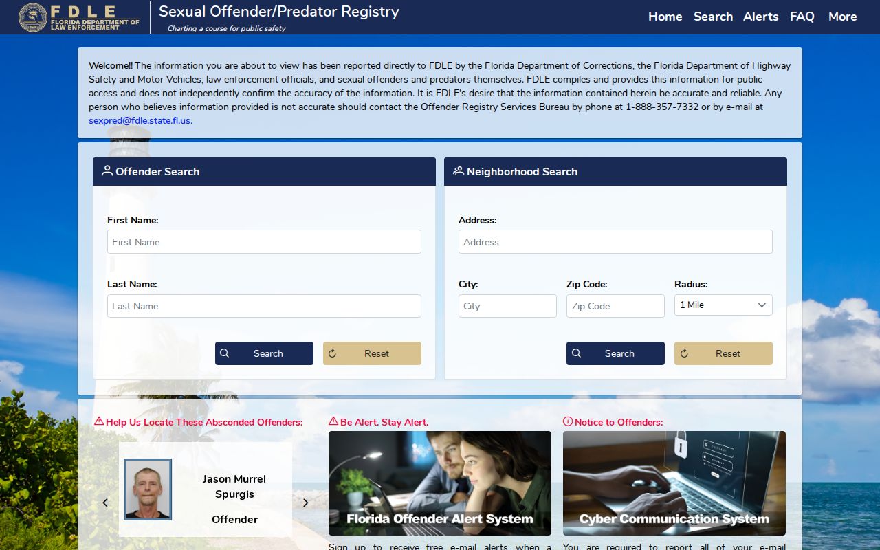
The captured form shows the filters and record context that must travel with a result.
FDLE also published an announcement describing enhanced registry search capabilities.
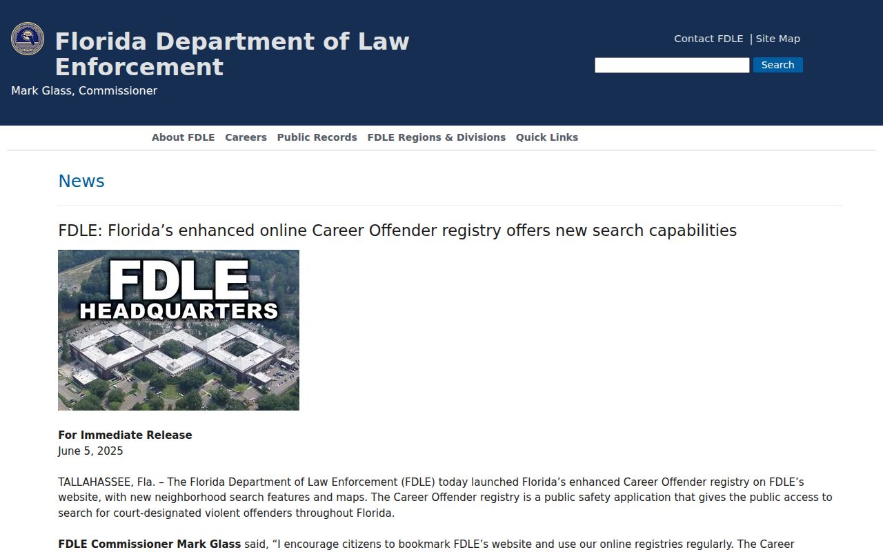
The announcement supplies recent feature context; the live official registry remains the source for a current geographic query.
The Florida Department of Corrections Offender Search covers state incarceration, release, and supervision records rather than a general block roster.
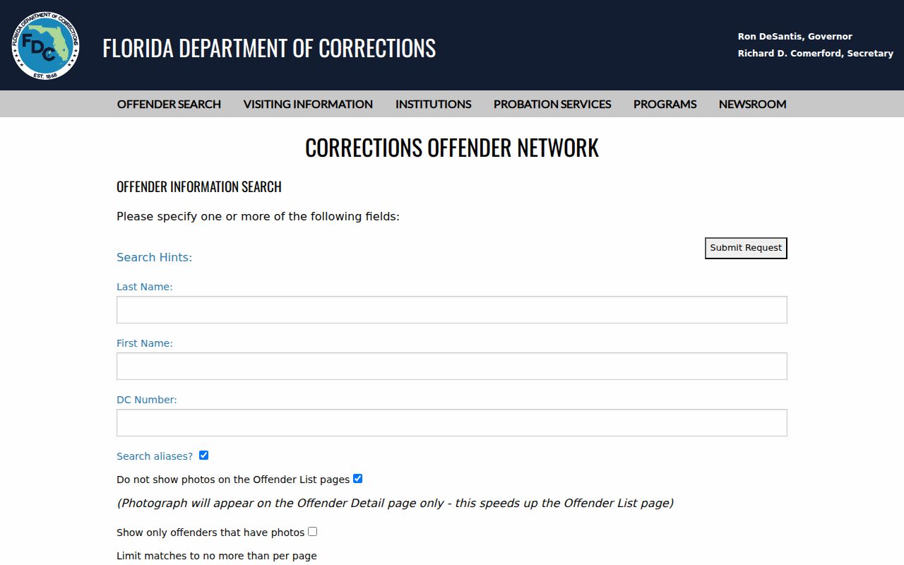
Its statewide record purpose differs from FDLE's geographic registry, so confirm identity and status in the correct system.
For county custody, use the Pinellas County Sheriff's Office Who's in Jail search.
The county page concerns current custody. A booking is not a conviction, and any disposition must be checked in the Clerk's court record.
Florida Guidance for Tarpon Springs Neighbors
The Florida Division of Elections explains which voter-registration fields are public and which must be kept confidential. That state guidance is useful before requesting a block extract because it sets expectations for redactions and protected addresses. It also reinforces that voting history shows participation, not how anyone voted.
Review the official Florida voter-information guidance before defining the fields in a Pinellas request.
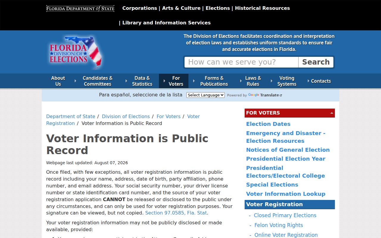
The state page provides the legal access context that should accompany any use of voter data to understand Tarpon Springs neighbors.
Privacy for Tarpon Springs Neighbors
Public rolls leave many people out. They do not expose unlisted household members, all renters, short-term occupants, utility customer identities, motor-vehicle addresses, minors, or protected-program locations. Trust and company ownership also weakens any claim about who occupies a parcel. Even accurate information can cause harm when stripped from its date and purpose.
Lawful use. Use Tarpon Springs neighbor records for legitimate personal, safety, and civic research. Never stalk, harass, intimidate, or harm anyone.
Record the date, cite the custodian, and describe a person only as the source does. “Owner of record” is sound. “Lives there now” often is not.