
Tarpon Springs ZIP Directory Areas
Two verified postal ZIPs carry the Tarpon Springs name. They divide the older coastal core from much of the eastern delivery area, but neither line should be treated as a city border. The broad descriptions below come from the local records research and are meant for orientation. For one parcel, use the official address and map tools.
| ZIP | Tarpon Springs areas served | Postal identity | Local note |
|---|---|---|---|
| 34689 | Historic core, Greektown, Sponge Docks, downtown, bayou and coastal areas | Tarpon Springs main postal area | Primary older-city ZIP; its edge is not the city line |
| 34688 | Eastern Tarpon Springs postal area and East Lake vicinity | Tarpon Springs delivery area | Expanded in 2001 and includes a marked city-limit mismatch |
No authoritative source reviewed identified a separate local PO-box-only code or published exact neighborhood polygons for each code. The USPS ZIP Code Lookup is the right source for a current mailing address, while the county parcel map answers where the land sits. That distinction keeps the Tarpon Springs ZIP code directory accurate at the address level.
Open the official USPS address and ZIP lookup to test a complete mailing line.
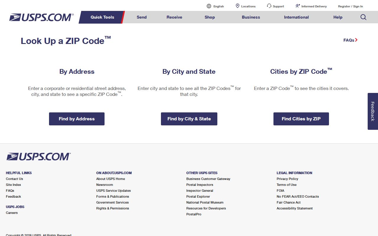
The USPS screen is the authority for current delivery formatting, while the county sources below answer ownership and jurisdiction questions.
Tarpon Springs ZIP Shift in 2001
USPS expanded 34688 delivery effective July 1, 2001. Affected mail that had used 34689 was directed to Tarpon Springs, Florida 34688. That change creates a real search problem in files indexed by the address as it appeared when the record was made. An older deed, directory entry, permit, or news item can use the former code even though the same site now receives mail under 34688.
Search both ZIP forms when research crosses the change. Keep the house number and street stable first, then compare parcel ID and legal description. Those land keys do not depend on postal formatting. This small date check can recover records that a current-code-only query misses.
The same approach helps with library and archive work. A directory or newspaper index may preserve the mailing form used in its own year, while a modern parcel card shows today's standardized address. Record both versions beside the source date. Then test the street name without a ZIP before deciding that a household or property reference is absent. For requests to a custodian, include the old and current forms, the parcel number when known, and a narrow date range. That gives staff enough detail to check older permit, assessment, or recorded-document indexes without treating two postal forms as two different sites.
Note: The 2001 change affected delivery geography; it did not annex land into Tarpon Springs or alter a parcel's legal description.
Search Tarpon Springs Property by ZIP
The Pinellas County Property Appraiser Advanced Search is the strongest official tool for a ZIP-wide ownership list. Its Owner and Location filters include ZIP code, subdivision, and tax district. Results can be limited by parcel traits, values, and sales, then selected fields can be downloaded. A tax owner is not automatically a current occupant, so treat the result as a parcel roll rather than a roster of every resident.
| Search control | Use in a ZIP lookup |
|---|---|
| ZIP Code | Limits parcels to the selected postal code |
| Owner and location | Adds owner, subdivision, or tax-district filters |
| Characteristics and value | Narrows the parcel set by official property fields |
| Sale filters | Finds parcels matching recorded transaction criteria |
| Selected-field download | Preserves a dated ZIP-wide result for comparison |
Open individual parcel cards after the broad search. They separate the situs address, where the land is located, from the mailing address used for tax contact. They also provide the parcel number, subdivision, legal description, and deed reference needed for a sound match.
See the official ZIP filter as it appears in the advanced property search.
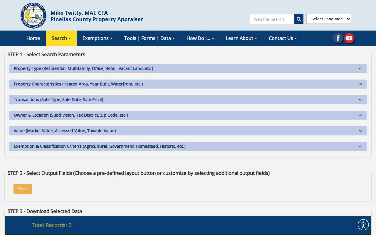
The captured screen shows why this official search works better for a parcel list than a general place-name query.
Find Tarpon Springs Residents by ZIP
A careful ZIP code directory workflow moves from delivery confirmation to official parcel evidence. It can then add lawful public voter data where needed. The individual voter-status page requires a first name, last name, and date of birth, so it is not a ZIP browser. Pinellas County's public-data channel is the proper route for a geographic extract, with protected fields and protected voters removed.
- Confirm the full address through USPS, especially if the record uses 34688 or 34689 near their shared edge.
- Run the Property Appraiser Advanced Search with the ZIP filter and save the date of the result.
- Open matching parcel cards to separate site address from the tax mailing address and copy the parcel number.
- For public voter data, ask the Pinellas Supervisor of Elections for the needed geography and fields rather than trying to reverse an individual status form.
- Once a ZIP narrows the area, use the Tarpon Springs street directory method for a specific named street.
The Pinellas Supervisor of Elections supplies voter information and data requests. A registration address is evidence of declared voting residence at the roll's update date, not proof that a person is physically present today.
When a ZIP query points to a city office, confirm the department through the Tarpon Springs staff and department directory.
The directory provides the named city contact after postal and parcel checks establish that the address falls within municipal jurisdiction.
Four Tarpon Springs Address Layers
A single address can sit in four systems at once. USPS assigns delivery geography. Tarpon Springs sets municipal jurisdiction. The Property Appraiser assigns assessment geography, and the recorded plat or legal description identifies the land. Mixing these layers causes a common error: sending a city records request merely because “Tarpon Springs” appears in the mailing line.
| Layer | Question it answers | Best source |
|---|---|---|
| Postal ZIP | How is mail routed? | USPS lookup |
| Municipal line | Is the parcel governed by Tarpon Springs? | City planning maps or county GIS |
| Tax district | Which assessment geography applies? | PCPA parcel card |
| Legal land identity | Which recorded parcel is this? | Parcel ID, plat, and deed |
The Tarpon Springs Comprehensive Plan map series helps with city geography. The county parcel system then supplies the tax and legal keys. Use both before choosing the city permit desk or the county access portal.
View the city's adopted plan and map resources before treating a postal label as a boundary.
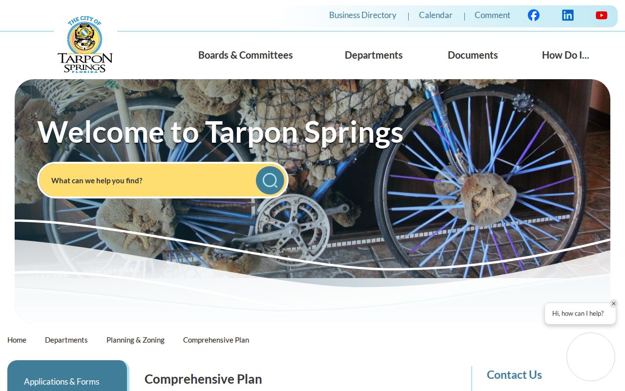
The city map page provides the jurisdictional context that a ZIP-only result cannot supply.
The Tarpon Springs Community Redevelopment Agency adds a smaller planning geography inside the city core.
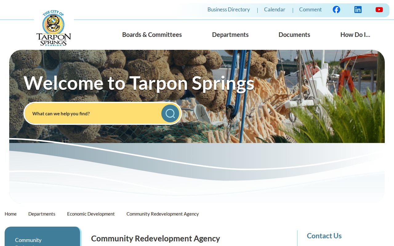
The CRA resource shows why a planning district can add local context without replacing the postal ZIP or incorporated-city boundary.
Match Tarpon Springs Greektown Parcels
Historic Greektown calls for more than a postal search. The city's official district map labels house numbers and contributing or noncontributing parcels. Its preparation reconciled plats, Property Appraiser GIS, Sanborn material, and aerial imagery, which makes it a useful bridge between a street address and a stable parcel identity.
Use the official Greektown map to confirm the block and visible house number. Then find the parcel in PCPA and copy the parcel ID, legal description, and plat reference. The ZIP code helps locate the broad area, but the parcel and plat carry the historical search when house-number or mailing formats change.
Fix Failed Tarpon Springs ZIP Searches
When an address is rejected, standardize it through the USPS lookup, then search only the street in the Property Appraiser system. If that still fails, move to the parcel viewer and inspect the map. County street-centerline records can hold left and right address ranges, municipality, ZIP, emergency service number, and edit information that explain why a number is missing or routed elsewhere.
The parcel number is usually more durable than a formatted address. Once found, it links the site to the subdivision, plat, and deed. For old records, repeat the query with the pre-2001 ZIP form and reasonable street variants. That fallback sequence makes the Tarpon Springs ZIP code directory a starting point, not a claim that postal codes identify residents by themselves.
Centerline data is especially useful on a newly assigned or rejected number because its left and right ranges can show whether the entered number fits that road segment. The municipality field then directs a permit request to Tarpon Springs or Pinellas County. Keep the edit date with the result, since address-range data can change as roads and emergency-service systems are updated.
Tarpon Springs ZIP and City Limits
A Tarpon Springs, Florida 34688 mailing address commonly reaches land outside the incorporated city. That is normal. USPS designs efficient delivery routes, while a city boundary controls government jurisdiction. Confirm the parcel on the city or county map before seeking building, code, or municipal assessment files. City-limit properties route to Tarpon Springs offices; unincorporated postal addresses generally route to Pinellas County.
- ZIP code
- A five-digit postal delivery area, not a municipal boundary.
- ZIP+4
- The five-digit code plus four digits that narrow a delivery segment.
- PO-box ZIP
- A code reserved for post-office boxes. Research did not verify a separate one for this local directory.
- Unique ZIP
- A code assigned to one high-volume organization. None was verified for Tarpon Springs.
- Carrier route
- A postal delivery sequence within a ZIP, useful for mail operations but not proof of city jurisdiction.
For a current answer, the source chain is simple: USPS confirms delivery, PCPA confirms the parcel, and the municipal map confirms jurisdiction. Each record has a narrower purpose than the ZIP code directory as a whole.